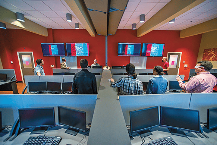
In an effort to reach out to the community, the Barbara Wheatland Geospatial and Remote Sensing Analysis Laboratory in the University of Maine’s School of Forest Resources has become the hub of the UMaine Mapping and GIS Student Club, has provided trail maps for the Orono Land Trust and Bangor Land Trust, and is involved with the Maine chapter of The American Chestnut Foundation (TACF) and its effort to restore the tree to its native range. In working with TACF, the lab is helping build a chestnut tree database for the foundation that will be updated using innovative geospatial applications to detect trees and real-time aerial survey methods for monitoring.
The Barbara Wheatland Geospatial Analysis Laboratory Excellence Fund is held at the University of Maine Foundation.
Read more about the lab and chestnut tree research in UMaine Today